Land Surveying
Accurate field and office services for real-property transactions, design and construction.
- Boundary and as-built surveys
- ALTA/NSPS surveys
- Topographic surveys
- Construction stakeout

Professional land surveying and civil engineering services for property owners, attorneys, banks, developers and public agencies throughout the U.S. Virgin Islands.
From boundary research and field measurement through engineering plans, approvals and final documentation.
Accurate field and office services for real-property transactions, design and construction.
Start-to-finish support for single-lot and multi-lot subdivision projects.
Practical site-development solutions grounded in local conditions and permitting requirements.
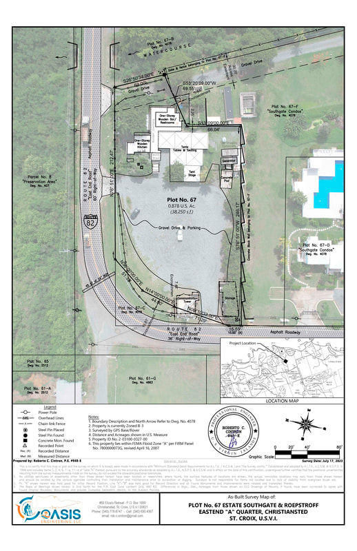
Oasis Engineering combines records research, field measurement, aerial information and professional review to produce plans that clients and agencies can use with confidence.
Each assignment is managed directly by Roberto C. Cintron, P.E., providing continuity from the initial scope through final delivery.
Send the parcel number, location, service needed and available records.
We define the scope, fee, deliverables and anticipated schedule.
Research, measurement, calculations, drafting and professional review.
Receive signed survey, report, map or engineering documents.
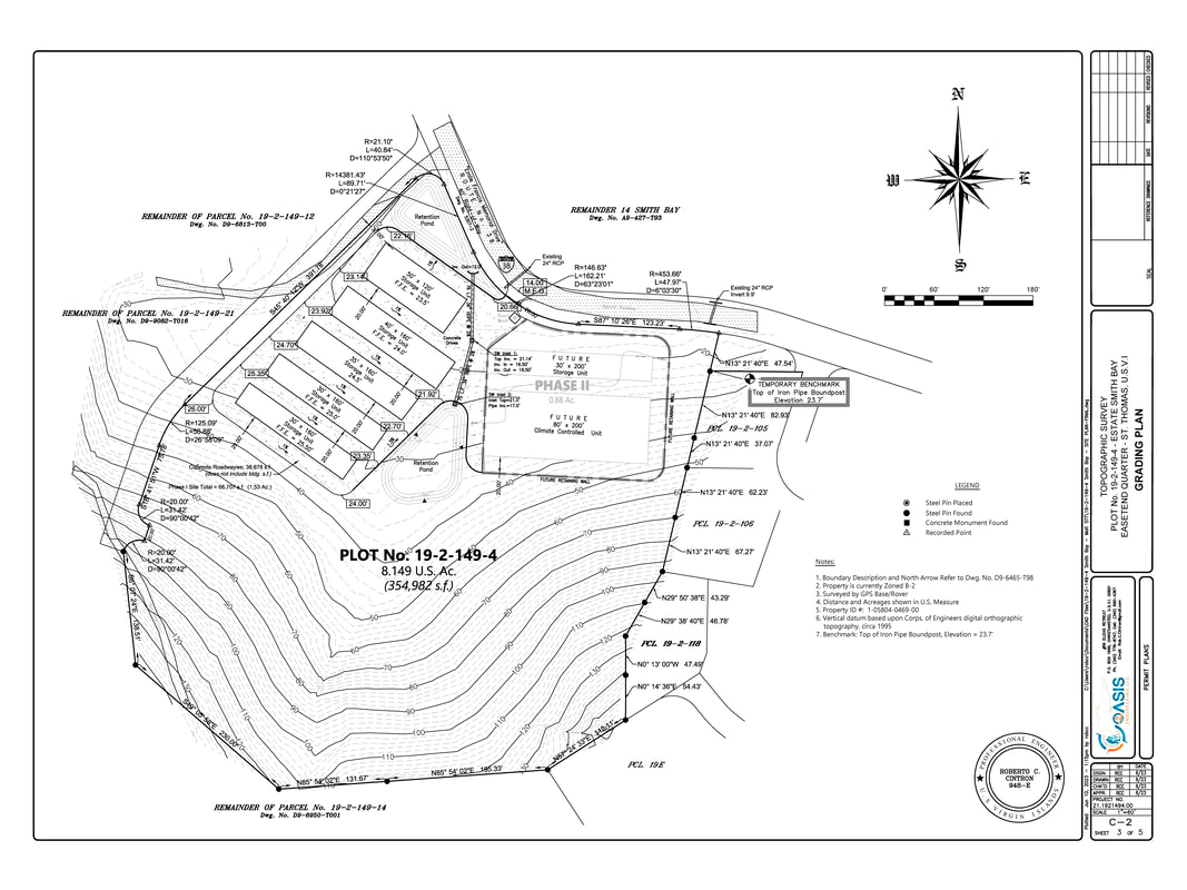
Detailed existing-condition mapping for design and site evaluation.
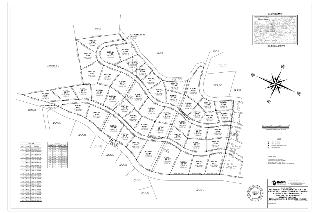
Parcel layout, agency coordination and cadastral documentation.
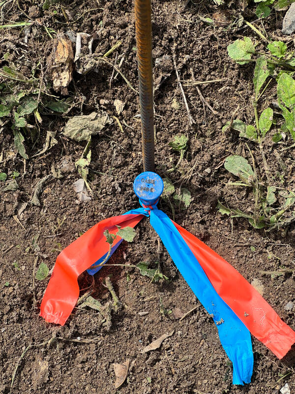
Field recovery and setting of property-corner evidence.
Provide the property information and requested service. We will review the scope and respond directly.